Alice Lake – Sawtooth Wilderness, Idaho
Alice Lake lies in the southern heart of Sun Valley’s Sawtooth Wilderness, surrounded by serrated granite pinnacles that reflect the range’s iconic name. It’s a premier destination for hikers, anglers, climbers, and ski mountaineers.
Getting There
- Drive north from Ketchum on Highway 75, crossing Galena Summit.
- Turn left at the Pettit Lake sign and continue on Pettit Lake Road to the backpacker’s parking lot.
- The marked trail to Alice Lake begins here and is approximately 6 miles one way.
Trail Conditions
- The trail is well-marked but includes multiple stream crossings, which can be treacherous from May through early July.
- The final crossing is via a bridge just before the lower lakes.
- To avoid early-season crossings, hikers can travel off-trail along the southern slopes.
- Bring wading gear if you plan to stay on the main trail.
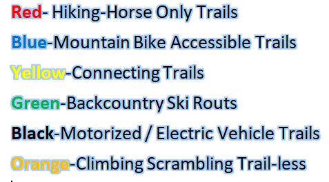
- Mountain bikes are allowed only up to the wilderness boundary at Pettit Lake.
Fishing
- Stocking History: Alice Lake was first stocked in the 1940s and 1950s with Eastern Brook Trout.
- Current Status: No longer stocked, as brook trout now reproduce naturally throughout the drainage.
- Fishing Highlights:
- Alice Lake: Holds the largest fish; best fishing is early or late evening. Afternoon fishing is often slow.
- Twin Lakes: Brook trout are abundant and can sometimes be caught throughout the day.
- Lower Lakes: Best fishing is in the early morning and evening, though afternoons can also be productive.
- Effective Flies:
- Subsurface: Woolly worms, streamers, nymphs
- Surface: Mayfly (Adams), Renegade, and midge patterns (sizes 20–16)
Climbing
- El Capitan, Snowyside, and Perfect Peak are all accessible from the Alice Lake basin.
- While Snowyside is more commonly climbed from Alturas Lake, an airy ascent from Alice Lake is also possible.
Wildlife & Scenery
- Waterfalls cascade through the glacial canyon in early season.
- Keep an eye on the cliffs—mountain goats are occasionally spotted.